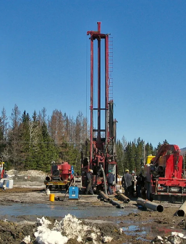
borehole yield testing and develops hydrogeological models to predict water availability, aquifer behavior, and potential impacts of exploration activities on local water resources.
We also provide water quality monitoring for exploration and mining areas, analyzing parameters to ensure compliance with environmental standards and detect potential contamination risks. Additionally, we collect baseline environmental data and generate comprehensive reports to support regulatory submissions, environmental planning, and responsible project development.
By integrating hydrogeological studies with environmental monitoring, we help exploration teams make informed decisions that balance resource development with ecological stewardship.