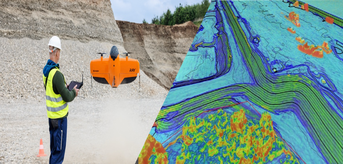
We conduct UAV-based topographic and orthomosaic mapping using high-precision drones equipped with advanced sensors. The resulting datasets provide detailed surface information, enabling accurate mapping of geological features, structures, and landforms.
Our team develops 3D Digital Terrain Models (DTM) and performs volumetric assessments for pit design, resource estimation, and site planning. These models help quantify material movement and monitor terrain changes with high accuracy.
Through aerial data integration with GIS and geological layers, we deliver comprehensive visualizations that improve target definition, geological correlation, and planning precision.